Description
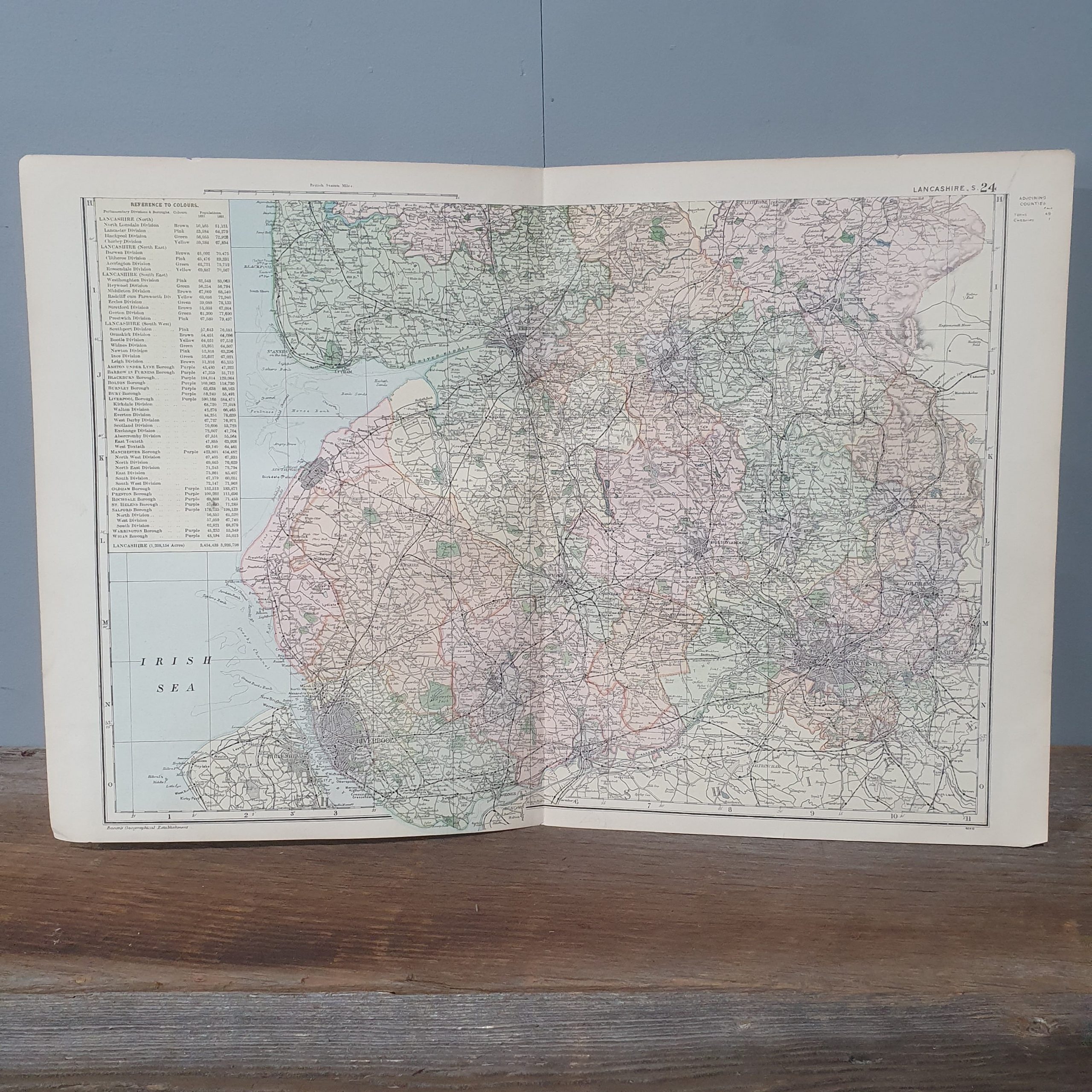
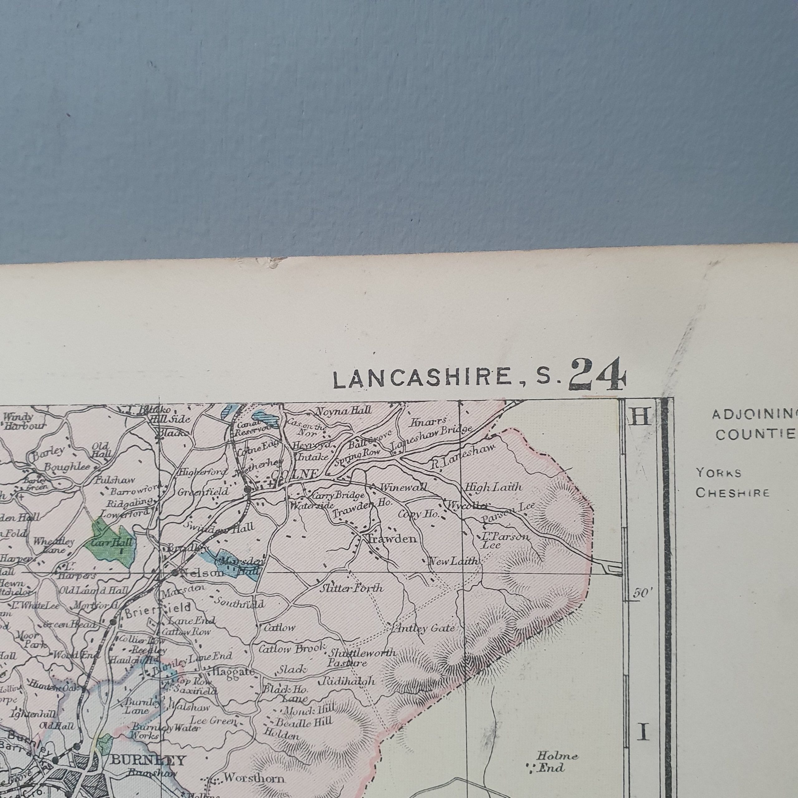
G.W. Bacon & Co. Ltd. paper map of Lancashire from the Ordnance Survey 1898.
This is a double page map of the county but no frame. There are no rips or tears but a yellowing of the paper it is printed on. A fascinating look back to the county of more than a 100 years ago.
Please remember when buying vintage items, they will have signs of use but that is also what makes them so unique. We do our best to photograph and explain the condition of the item as best we can. If you have any questions about a particular item, please contact us. Please take the time to look at all pictures.
Product Code: 30663E
Styling: Framed and hung on any wall
